The survey I had to take again
The first two runs each had part of what I needed. The third finally became a reproducible baseline.
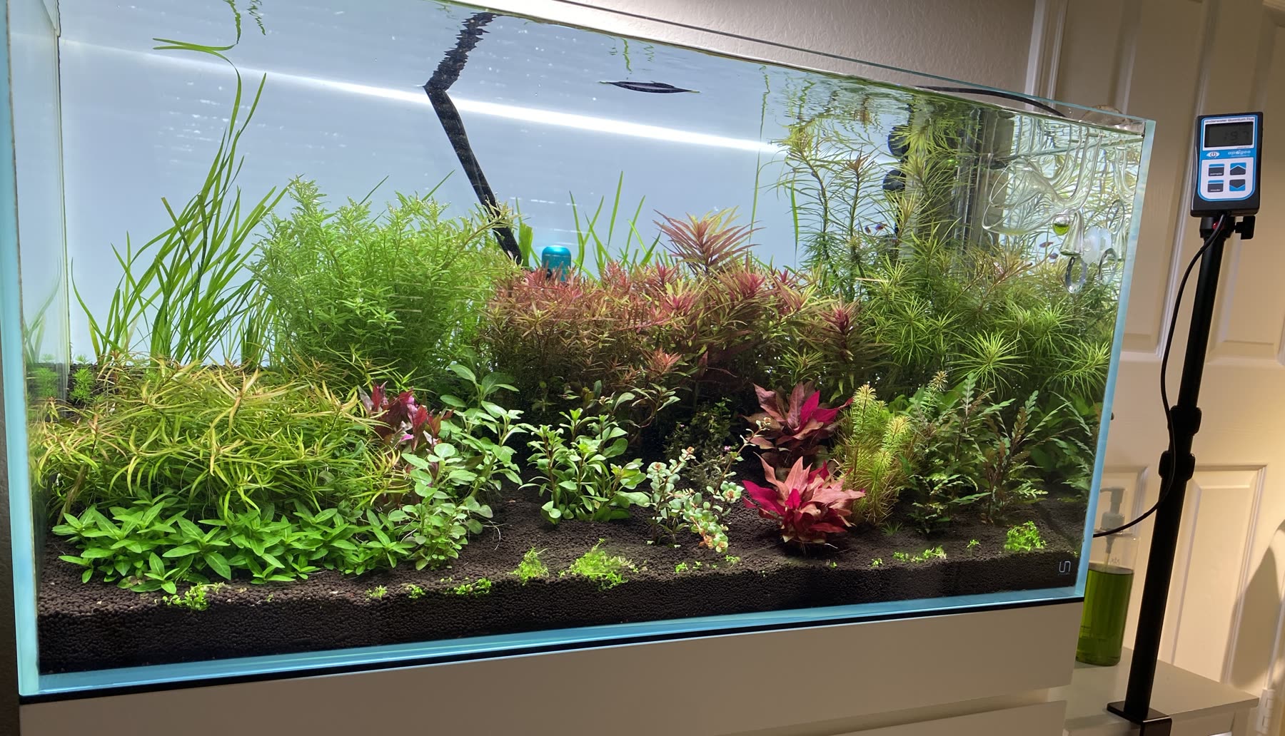
The standing PAR survey on this site is dated the 8th of August 2026. It is the third run, and the reason it exists is that neither of the first two could be repeated.
The run on the 1st of August covered seventeen positions. It recorded depth and fixture height against every one of them, which is what makes a reading reproducible: the same position measured at the substrate and at the canopy is two different numbers, and without the depth there is no way to know which was taken.
The run on the 2nd covered all twenty positions. It recorded neither depth nor fixture height.
Why neither run could stand
One run was complete but not dimensionally reproducible. The other was reproducible but not complete. There was no way to combine them into a single dataset without pretending the missing metadata existed, so the survey was taken again from scratch rather than assembled from the two.
The 8th of August run covers nineteen positions. It is nineteen rather than twenty because position 5 no longer has a live plant. The Myriophyllum mattogrossense 'Golden' planted there melted during the cycling period despite a light reading inside the working range used for it here, its last being 70 µmol on the 2nd of August, so light alone does not explain the loss. A working range describes light and nothing else.
Every reading in the standing survey carries a depth and a fixture height. That is the whole difference between this run and the two before it, and it is why this one becomes the baseline that later surveys are compared against.